kakatiyareality

Welcome To Kakatiya Reality

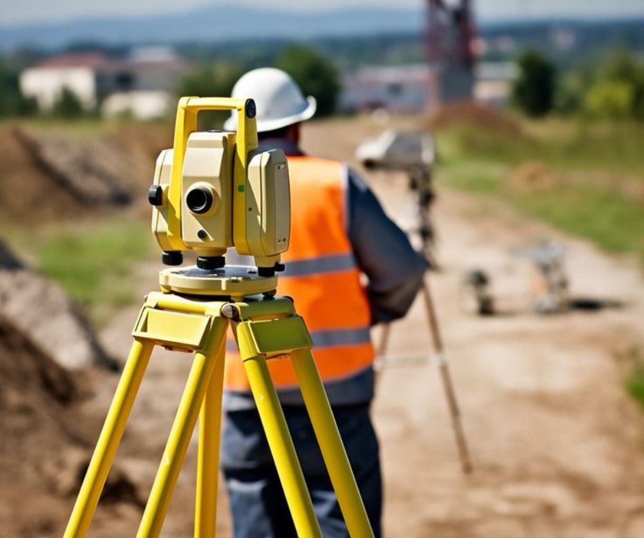
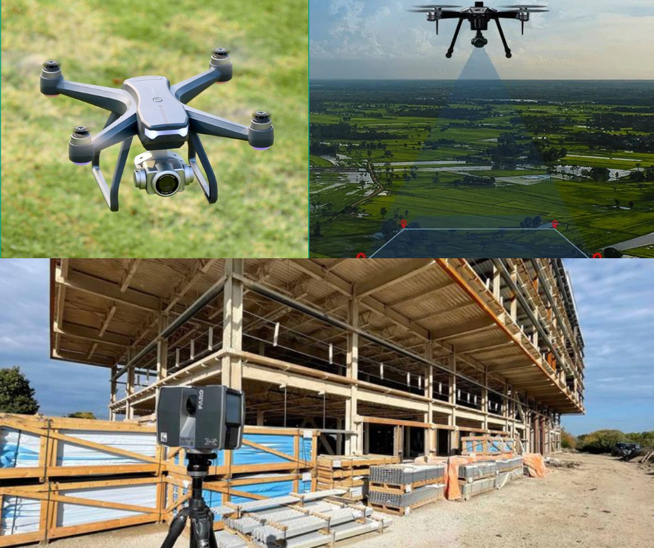
Kakatiyareality provides precise, reliable, and accessible geospatial data. Our comprehensive services ensure efficient planning and operations, meeting diverse sectoral needs with advanced data acquisition and surveying solutions.

Turning Possibilities into Reality with Geospatial Intelligence.

About Us

Kakatiyareality Mapping Private Limited is a pioneer in geospatial data solutions, committed to empowering organizations with precise and actionable insights. Our team of experts leverages cutting-edge technologies and innovative approaches to deliver services that meet the highest standards of accuracy and reliability. Whether it’s urban planning, environmental monitoring, infrastructure development, or resource management, we provide tailored geospatial solutions to drive success.

Our Services

Shaping a Smarter World with Geospatial Expertise.

Surveying and Mapping

Levelling, Total Station and DGPS Surveys UAV Surveys and Mapping Terrestrial/Handheld/UAV Lidar Surveys

Analytics & Insights

Aerial Triangulation Point Cloud and 3D Model/Mesh Generation Digital Elevation Products (DEM/DTM/DSM) Building Orthoimage

GIS / CAD

GIS Database Creation and Management GIS Mapping Projects

Lidar Services

Lidar Sensor Calibration Data Capturing Processing and Validation Analytics and Feature Extraction

Virtual 360° Tours

A Virtual 360° Tour is an interactive, immersive experience that lets users explore real-world locations digitally in a 360-degree view.

Building Information Modeling (BIM)

Building Modeling Infrastructure Modeling BIM Conversion & CAD Services

Inspection Surveys

UAV-Based Inspections Lidar-Based Inspections Environmental and Condition Monitoring Predictive Maintenance and Risk Assessment

Lidar Services

Lidar Sensor Calibration Data Capturing Processing and Validation Analytics and Feature Extraction

Our Capabilities

High-Accuracy Data: Obtain data accurate up to 2 cm, ensuring precision for all your projects.

Quality Output: Delivering results that support your project’s success from start to finish.

Fast Turnaround Time: Providing information exactly when you need it.

3D Models of Drone Images: Leverage drone data with 3D models for enhanced visualization and analysis.

Custom Applications: Develop enterprise solutions, web applications, and mobile applications tailored to your requirements.

End-to-End Geospatial Solutions: Offering a complete cycle of geospatial services, from inception to project completion.

Full Suite of Geospatial Services: Covering everything from surveying to aerial photography, photogrammetry, GIS, and map production.

High-Quality Data Processing: Utilizing unparalleled expertise in processing data from airborne digital sensors to deliver superior results.

Years Of Experience
10 +
Experienced Professionals
50 +
Industries We Serve
20 +
Happy Clients
1 K

Why Choose Us

Choose Kakatiyareality for unmatched precision, reliability, and innovation. We combine advanced geospatial technologies with customized solutions to meet diverse client needs. Our fast turnaround times, high-quality outputs, and end-to-end services empower businesses to make informed decisions and achieve project success with ease.

Industries We Serve

Let’s Transform Data into Actionable Insights!

Get in touch with us today to explore how Kakatiyareality can support your projects with cutting-edge geospatial solutions.