About Us
Home/About Us

WHO WE ARE
Innovating Geospatial Excellence for Every Sector.
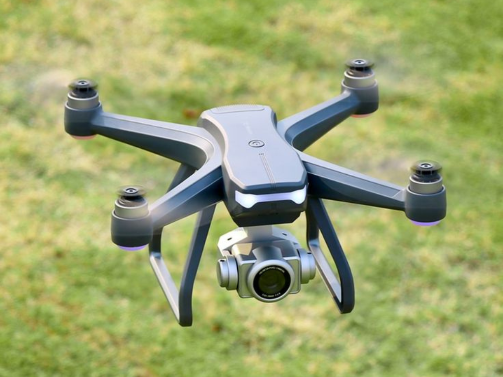
At KAKATIYA REALTY, we specialize in offering high-precision survey,mapping,3D Terrestrial Lidar scanning, RGB, Thermal, Lidar data acquisition services with certified and industry-leading high precise reliable equipment for a range of industries.
Our team of professionals ensures accurate, dependable, and comprehensive data for all of your project needs by utilizing cutting-edge technology and industry-leading methodologies.
Our Values
High-Accuracy Mapping for a Better Tomorrow.

Lorem ipsum dolor sit amet, consectetur adipiscing elit. Curabitur laoreet cursus volutpat. Aliquam sit amet ligula et justo tincidunt laoreet non vitae lorem. Aliquam porttitor tellus enim, eget commodo augue porta ut.

Lorem ipsum dolor sit amet, consectetur adipiscing elit. Curabitur laoreet cursus volutpat. Aliquam sit amet ligula et justo tincidunt laoreet non vitae lorem. Aliquam porttitor tellus enim, eget commodo augue porta ut.
Our Team
He is over 15+ years of expertise in GIS and geospatial technologies. With a proven track record of contributing to transformative projects in the industry, he has consistently driven growth and delivered exceptional results through his strategic business acumen and deep understanding of emerging technologies. commitment to innovation is evident in his ability to integrate advanced technologies like LiDAR, UAVs, AI, and IoT into geospatial solutions. This forward-thinking approach has enabled him to enhance efficiency, foster innovation, and meet the evolving demands of clients with high-quality, tailored solutions.
As a director, his focus lies on strategic growth, fostering business development, and ensuring outstanding client experiences. With his wealth of experience and dedication to excellence, is poised to lead Kakatiyareality toward greater success, shaping the future of geospatial solutions and empowering clients with cutting-edge insights.


He is brings over 12 years of expertise in geospatial solutions and project management. Holding an M.Tech in Environmental Geomatics from JNTU IST Hyderabad, he has developed a unique ability to integrate environmental considerations into geospatial technology. This specialized knowledge has enabled Kakatiyareality Mapping Pvt Ltd to lead the way in delivering sustainable geospatial solutions.
As the Managing Director of Kakatiyareality Mapping, is a visionary leader skilled in leveraging advanced technologies like GIS, CAD, BIM, Big Data, and cloud platforms to design tailored solutions for clients across infrastructure, utilities, energy, and urban development sectors. His extensive experience spans data source integration, management, transformation, sharing, and analytics, empowering businesses with actionable insights to streamline operations.
dedication to innovation, sustainability, and operational excellence has been instrumental in applying cutting-edge geospatial technologies effectively, solidifying Kakatiyareality Mapping’s reputation as a trusted global partner.
From Data to Decisions – Kakatiyareality Leads the Way
We invite you to connect with us and explore how kakatiyareality Mapping Private Limited can support your projects with cutting-edge geospatial solutions. Together, let’s turn data into decisions and shape a smarter, more connected world.
From Data to Decisions – kakatiyareality Leads the Way
Lorem ipsum dolor sit amet, consectetur adipiscing elit. Ut elit tellus, luctus nec ullamcorper mattis, pulvinar dapibus leo.
